There’s no universal answer for how far a strong Google Business Profile should rank — but there is a reliable baseline that works for most local campaigns. By using a consistent measurement grid, adjusting for density and competition, and accounting for whether the business is a storefront or service-area model, we can quickly understand what “normal” coverage looks like and where the real limits are. This guide breaks down the default grid we use, when to expand or shrink it, and how to interpret coverage realistically across different markets.
Table of Contents
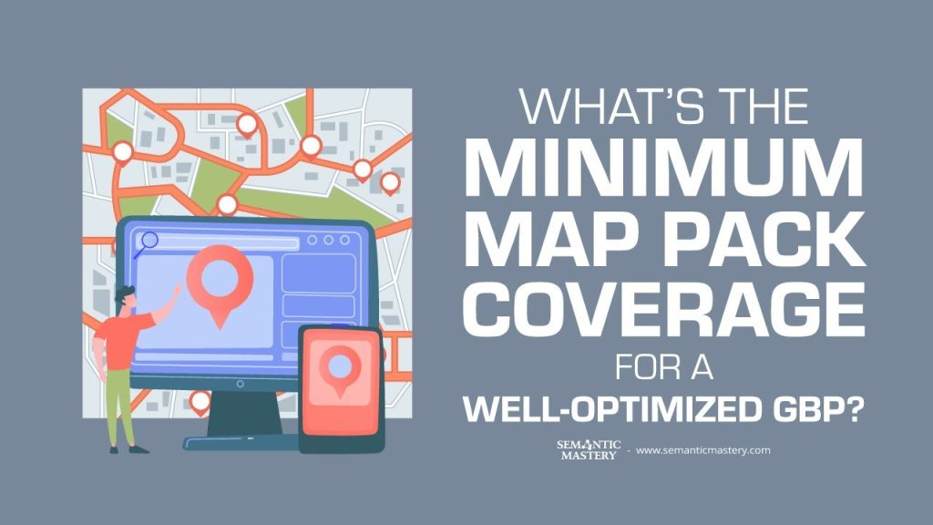
What we mean by maps coverage
Maps coverage is the area around your business where your Google Business Profile (GBP) shows up in the maps pack. We measure this with a grid of points around the business. Each point is a location where we check if the GBP appears in the map results.
How wide that grid should be depends on two big things: the type of business and how crowded the local market is. A lawn or tree service that travels can get much wider coverage than a small corner shop. A rural business can also rank across more miles than a business inside a dense downtown area.
Our default grid: the practical baseline
For most campaigns we start with a simple, repeatable grid: an 11 by 11 node grid with half mile spacing. That gives a map that is 5.5 miles across, or roughly 2.75 miles in any direction from the GBP.
This setting is our baseline for measuring maps coverage because it balances detail and reach. It catches differences in rank across neighborhoods while still being small enough to make sense for most local searches.
Why this grid works
- Precision: Half mile spacing shows local ranking shifts clearly.
- Relevance: It covers the most realistic service area for many local businesses.
- Comparability: Using the same default makes it easy to compare different clients or campaigns.
Got SEO Questions? Get answers every week at 4pm ET at Hump Day Hangouts. Ask questions ahead of time, or live – just go to: https://semanticmastery.com/hdho (bookmark this!) 10+ years of insights given every week!
Get your checklist to help get better results with GBPs, faster.
When to change the grid
We always customize the grid for the business and area. Here are the common tweaks:
- Densely populated inner cities: In places like downtown Manhattan, coverage tends to be narrow. You will often see strong ranking only on specific blocks. A half mile grid can be too wide and misleading. In these cases we look at tighter, block-level checks.
- Rural areas: Fewer competitors means you can often get wider coverage. We keep the 11 by 11 grid but increase node spacing to 1 or 2 miles. That extends the checked area to 11 or even 22 miles across.
- Industry differences: Some trades like tree services need wider, travel-ready coverage. For those we might use a 5 by 5 grid with 1 mile spacing or a 10 by 10 grid with half mile spacing to grab a roughly 25 square mile area.
Storefront versus service area business
Whether a business is a storefront or a service area business changes how a site should be built and how far the GBP can rank.
Storefronts usually target people who visit the location. Their websites often do not include many location pages. That keeps maps coverage tighter. Service area businesses usually add location pages and target searches across a wider area. That supports broader maps coverage.
What to do about it
- Storefronts: focus on the local neighborhood and optimize for near-me queries.
- Service area businesses: create supporting location pages, optimize them, and use a wider grid for reporting and testing.
Why population density and competition matter
Population is a proxy for competition. More people usually means more businesses competing for the same customers. In dense metros, new competitors compress how far you can reach in the maps pack. In rural markets, fewer competitors let you rank across more miles.
That’s why we never give a single rule that applies to every location. We start with a baseline and then tune the grid based on competition levels and the business model.
Simple, repeatable process to measure coverage
- Start with the 11 by 11 grid at 0.5 mile spacing for initial reports.
- Look at how the GBP performs across the grid. Note where dropoffs happen.
- If the business is rural, increase node spacing to 1 or 2 miles and test again.
- If the business is in a dense downtown area, reduce the grid area and focus on block-level checks.
- For service area businesses, add location pages and track how rankings change across the grid as you build links and content.
Example: tree service vs a city shop
Tree services are a good example of how industry changes the approach. For tree contractors we often guarantee a 5 by 5 grid that covers about 25 square miles. That works because they travel to jobs and the market is spread out.
In contrast, a small shop in a dense city has low street tree volume and many nearby competitors. Coverage there will be much more limited and patchy. The same tactics will not deliver the same geographic reach.
How we adjust when results lag
If a campaign is not responding as we expect, we change the grid and dig deeper. We run a competitive link analysis and a full site audit. Then we adjust the reporting grid to better reflect the market. The grid is both a diagnostic tool and a reporting standard.
Key takeaways
- The default grid for most campaigns is 11 by 11 with 0.5 mile spacing (about 2.75 miles radius).
- Adjust the grid by increasing spacing in rural areas and narrowing the area for dense city centers.
- Service area businesses usually need broader coverage and supporting location pages.
- Competition level drives how wide your GBP can realistically rank in the maps pack.
Frequently Asked Questions
What is the default grid we use to measure maps coverage?
We start with an 11 by 11 grid and half mile spacing between nodes. That covers about 5.5 miles across or 2.75 miles in any direction from the GBP.
Can a GBP always rank that far regardless of location?
No. Dense urban centers and certain industries will see narrower coverage. We adjust the grid and tactics based on location and competition.
How do we handle rural areas?
In rural markets we often keep the 11 by 11 grid but increase spacing to 1 or 2 miles. That expands the checked area to 11 or 22 miles across.
Should storefronts and service area businesses be measured the same way?
No. Storefronts usually have tighter maps coverage. Service area businesses should use broader grids and supporting location pages to expand reach.
What should we do if a campaign is not improving?
Run a competitive link analysis and a full SEO audit, then adjust the grid settings to match the market. Use the grid as a diagnostic tool to find where the GBP drops off.
Use a consistent baseline and then tune for the market. The grid is a tool to measure coverage, not a one-size-fits-all rule.